Massachusetts Bay Transportation Authority – Helping Visually Impaired Users Experience An Easier Commute
Back in 2003, Smith-Kettlewell Eye Research Institute initiated a project to create “on-demand, user-centered tactile maps for blind pedestrians and connoisseurs of the environment.” More than 10 years after the invention of the TMAP (Tactile Map Automated Production), the Lighthouse for the Blind and Visually Impaired partnered with Rightpoint to breathe new life into the project.
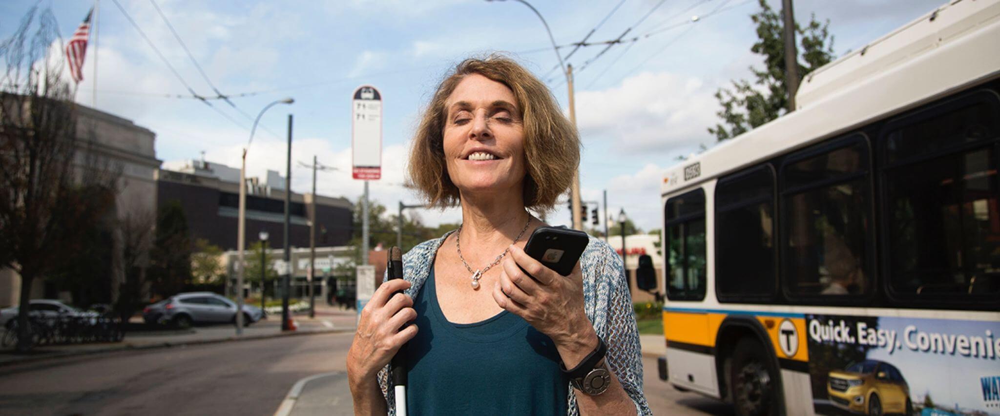
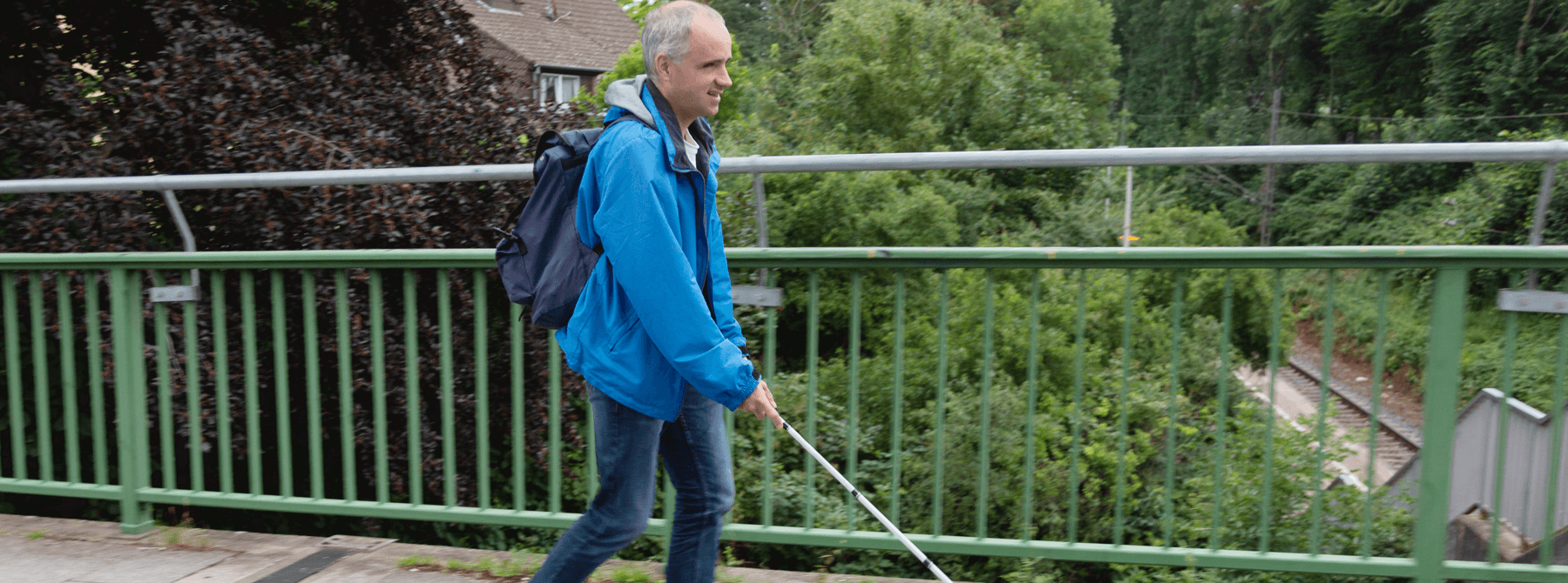
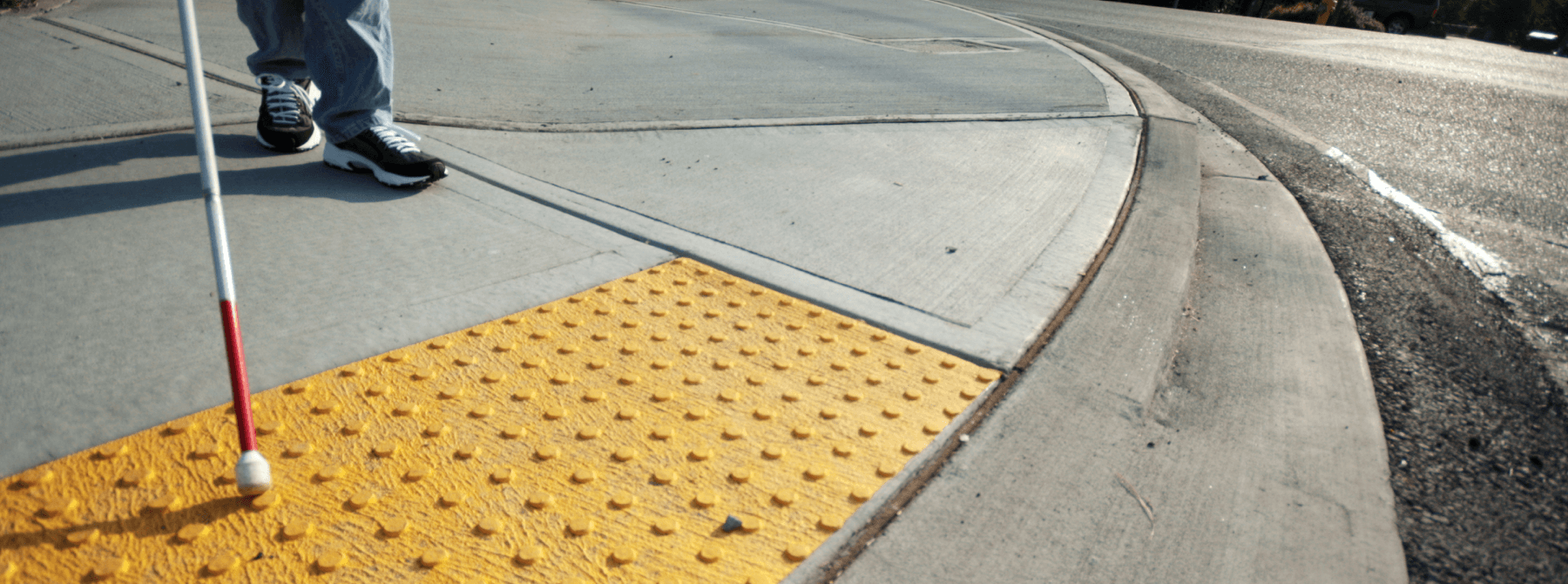
The blind and visually impaired communities have little to no access to information that would help them learn about their neighborhood layouts.
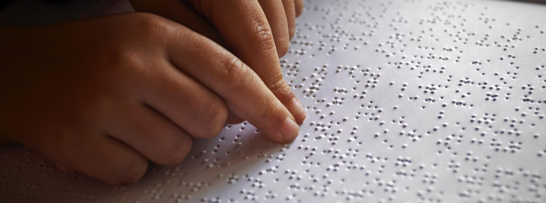
For those with low or no sight, access to information about the streets and paths around their homes or offices is exceptionally useful. Taking steps into a new area requires a high degree of confidence, and is often daunting. One of the primary methodologies to mitigate users’ uncertainty in new areas are braille maps printed on paper.
Historically, braille maps have been difficult to design, manufacture, and distribute. Not only is there the issue of the expense and access to braille printers, but generating clear maps that contain useful and legible information can be challenging. The original TMAPs designed by Dr. Joshua A. Miele, illustrated streets around a single point of interest. Rightpoint needed to improve legibility, clearly and distinctly label streets that touched the bounding box of the map, and ultimately reduce the time required to generate maps by the internal team at LightHouse. Being able to easily and programmatically produce these TMAPs in one click was essential to the team.
Creating useful maps began with large doses of trigonometry, trial, and error. Rightpoint leveraged the initial work and insights from the first TMAPs and reviewed and refined the approach. This required the team to project a map from a round world onto a flat surface (aka Cartesian plane) and to determine the street orientation—essentially which direction the street is going in the overarching context of each individualized map. Rightpoint went further by translating braille to fit street names on the page, keeping labels from overlapping, and organizing information in a mnemonic way. In addition, our team worked closely with the internal map creators at Lighthouse to build a screen reader friendly web page to interact with. Both sighted and non-sighted employees are fully capable of creating TMAPs using this internal web tool.
While the original TMAPs have been used and enjoyed for years, they are still in the nascent stage of mass production and functionality. For now, as a team, Rightpoint agreed to keep it simple. When Rightpoint placed TMAPs into the hands of first-time users at a backyard BBQ launch party, each and every person grinned as they spoke about the neighborhoods they were getting a look at for the very first time.
When Dr. Miele stood up to give a toast to the team there was not a dry eye in the room. Rightpoint believes the TMAP project will alter the way the blind and low vision community will interact with the world around them.
Mobile and Emerging Technology
iOS
Mobile